What the response contains
Try Tokyo, Recife, and Córdoba and use the returned fields to identify the right record.
Fields worth checking
- City
- Country
- Population
- Coordinates
 DexBase
City · Country · Population · Coordinates
Type a real query, scan the cards and confirm the key details before opening the full source.
Try Tokyo, Recife, and Córdoba and use the returned fields to identify the right record.
Fields worth checking
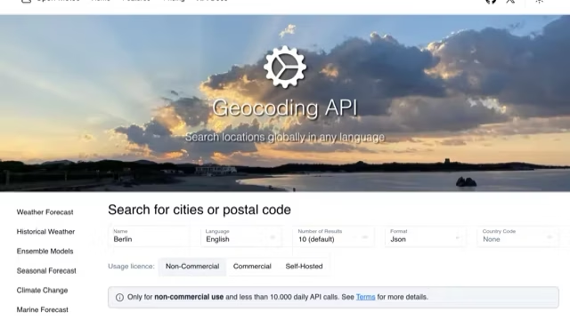
Open-Meteo geocoding returns results, and an entry can include id, name, latitude, longitude, elevation, feature_code, country, country_code, administrative areas, timezone, population, and postcodes. Cities and smaller places can share a name. If you know the country or first-level administrative area, add it after a comma in the search; then compare country, admin1, and timezone before choosing an entry. latitude and longitude are WGS84 coordinates for a point, useful for continuing a geographic lookup, but they do not confirm an address, route, delivery location, or administrative boundary.